
 Fixed date Ventura Tours Central Asia
 5 Stans group tour, ultimate: 26 days
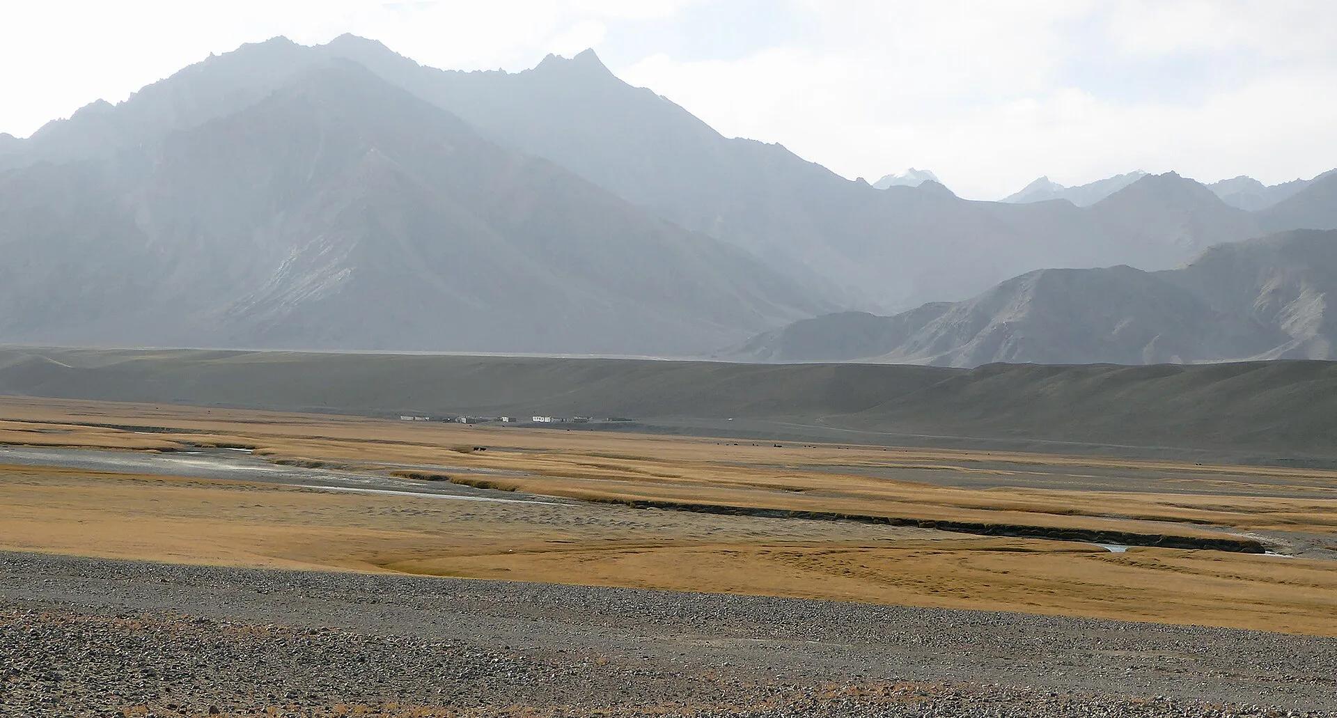
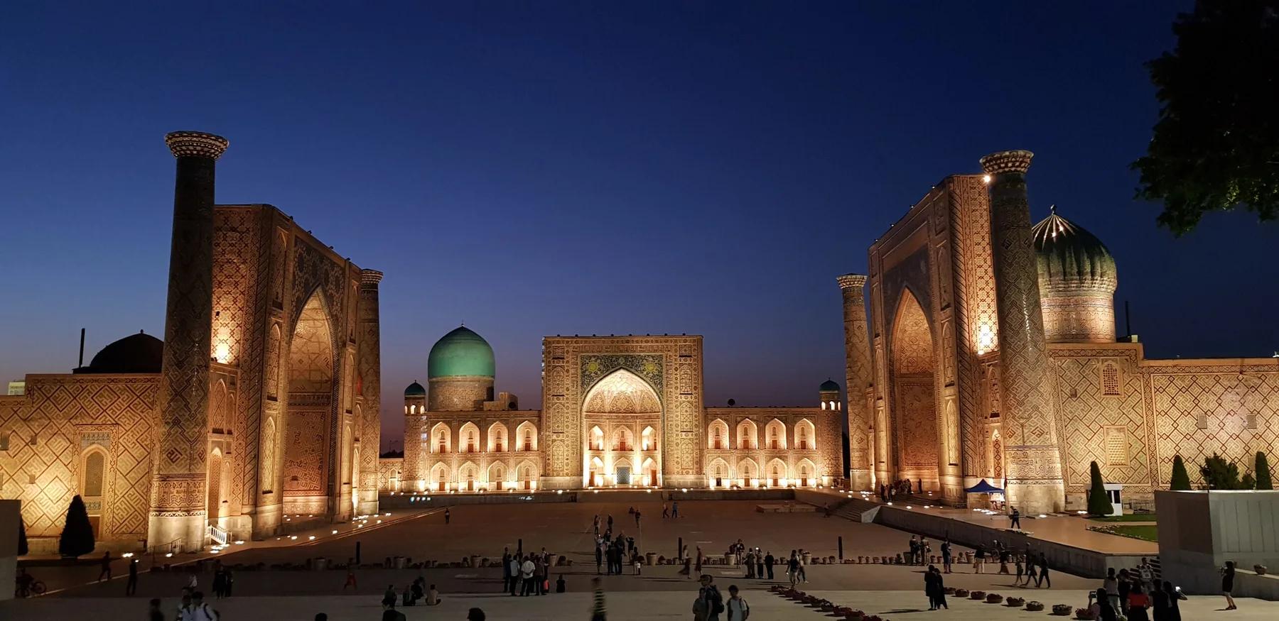
A 26-day fixed-date group tour across all five Central Asian countries: Kazakhstan, Kyrgyzstan, Uzbekistan, Tajikistan and Turkmenistan, with 32 destinations, more than 6,000 km, Silk Road cities, yurt stays and mountain lakes, starting in Almaty and finishing in Ashgabat.
26 days 10 persons